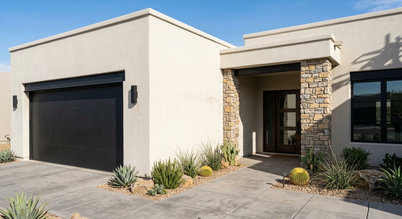
Are you comparing Las Vegas 55+ communities and wondering how close you’ll be to care, daily errands, and the activities you love? You are not alone. Location can shape your comfort, independence, and long-term plan more than almost anything else. In this guide, you’ll see how to think about hospitals, Downtown Summerlin, golf, trails, and transit in practical, day-to-day terms so you can choose with confidence. Let’s dive in.
Why location matters for 55+ living
Proximity to an emergency department and routine care supports peace of mind and continuity of care. Shorter drives to groceries, pharmacies, and a central retail district reduce daily stress. Easy access to paved trails and golf keeps your routine active and social. When you bring these layers together on a map, you get a clear picture of how a community will support your life.
Hospitals near key 55+ communities
Below are the major 55+ hubs many buyers consider, with the primary hospital anchors you will want to evaluate using drive-time bands of 0–5, 5–15, and 15–30 minutes.
Sun City Summerlin
Sun City Summerlin sits within the Summerlin master plan. You will typically evaluate access to Summerlin Hospital Medical Center for emergency and inpatient services. Buyers also compare secondary options in the broader valley, such as MountainView Medical Center and Sunrise Hospital & Medical Center, to understand backup coverage. Confirm each hospital’s emergency department status and specialty services on the hospital’s website before you decide.
Sun City Anthem
In Henderson’s Anthem area, you will generally look first to St. Rose Dominican Siena Campus for emergency and inpatient care. Many households also map drive times to alternative regional hospitals so they have a full picture of options. Check current routes and typical traffic patterns when you compare.
Sun City MacDonald Ranch
MacDonald Ranch residents often prioritize proximity to St. Rose Dominican Siena and a network of nearby urgent care clinics for non-emergent needs. If you receive specialty care elsewhere, add those clinic addresses to your map to see how frequently you will cross the valley.
Solera at Anthem and nearby 55+ enclaves
Smaller 55+ neighborhoods around Anthem share similar hospital orientation to Siena. If you rely on specific cardiology, orthopedics, or rehab providers, include those addresses in your layers so you can evaluate weekly or monthly trips.
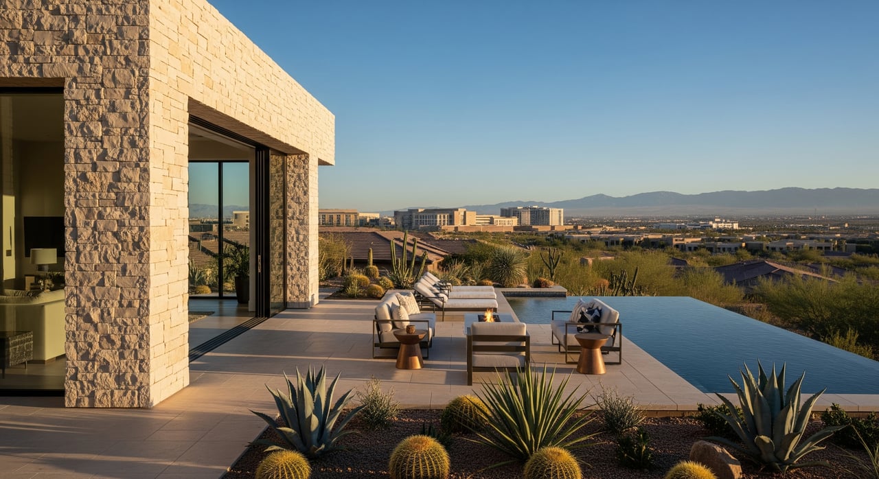
Downtown Summerlin and daily convenience
Daily convenience can be just as important as hospital access.
Essentials within reach
- Groceries and pharmacies: Add multiple options to your map so you can see which are within the 5–15 minute band. Proximity to same-day prescription services is especially helpful.
- Banking and services: Mark your preferred branches and service providers to see how many errands you can combine in one short trip.
- Fitness and wellness: Map both community clubhouses and nearby gyms or therapy studios for variety.
Downtown Summerlin access
Downtown Summerlin acts as a retail and social hub for many west-side residents. If you are considering Sun City Summerlin or nearby 55+ options, use walking isochrones of 0–5, 5–15, and 30+ minutes for neighborhoods near the edges and add a drive-time layer for the rest. Some pockets are walkable for confident walkers, while most residents prefer a quick drive.
Golf, trails, and active life
Your map should separate everyday-friendly options from more rugged destinations.
Summerlin golf and trails
Summerlin is known for its trail network that links neighborhoods, parks, and retail. Add paved, multi-use segments for daily walks or mobility scooters, and treat natural-surface trailheads into Red Rock Canyon as a separate, more strenuous layer. Identify golf options such as TPC Las Vegas, Summerlin Golf Club courses, and Bear’s Best Las Vegas, and note which are public daily-fee versus member access.
Anthem and Henderson options
Around Anthem and eastern Henderson, add neighborhood paths, community parks, and country club courses. Label each course as private or public and mark clubhouse locations for quick reference. This helps you weigh the value of joining a club versus using daily-fee courses.
Transit and mobility options
Mobility planning supports independence if you reduce driving later.
RTC routes and paratransit
Add RTC Southern Nevada bus routes, nearby stops, and park-and-ride lots. Note peak and off-peak frequency so you understand how reliable service will be for appointments and errands.
Community shuttles and rides
Some 55+ HOAs offer shuttle programs for shopping or clubhouse events. Confirm details on the HOA site and add the pickup points to your map. You can also mark ride-hailing pickup zones and typical meeting spots at community entrances.
How to read the map
Use drive-time rings rather than straight-line distance. Hills, speed limits, and signals shape real access.
- 0–5 minutes: Often best for urgent needs and frequent errands.
- 5–15 minutes: A comfortable daily radius for most households.
- 15–30 minutes: Useful for specialty care, entertainment, or regional recreation.
Add walking rings only where meaningful, such as within a 55+ community or around Downtown Summerlin. Label paved versus natural-surface paths so you can choose daily routes that match your comfort level.
Community cheat sheets
Use these quick prompts while you compare.
Sun City Summerlin
- Hospital orientation: Evaluate Summerlin Hospital first, with regional backups added for context. Verify emergency department and specialty services on the hospital site.
- Daily convenience: Map Downtown Summerlin as a retail anchor and layer multiple groceries and pharmacies.
- Active life: Emphasize Summerlin’s paved trail network; add local golf with public versus private status.
- Transit: Add RTC routes and note frequency. Check HOA resources for any resident transportation.
Sun City Anthem
- Hospital orientation: Focus on St. Rose Dominican Siena and compare drive times to regional alternatives.
- Daily convenience: Add grocery, pharmacy, and service clusters in Henderson corridors.
- Active life: Map Anthem trail connections and nearby country club courses.
- Transit: Layer RTC routes and any community shuttle details.
Sun City MacDonald Ranch
- Hospital orientation: Prioritize Siena Campus and nearby urgent care choices.
- Daily convenience: Mark Green Valley and eastern Henderson retail centers for one-stop errands.
- Active life: Add neighborhood walking paths and daily-fee golf options where available.
- Transit: Include RTC routes and paratransit details.
Solera at Anthem and nearby 55+
- Hospital orientation: Siena as primary, plus alternatives for specialist visits.
- Daily convenience: Focus on local groceries, pharmacies, and service corridors.
- Active life: Layer clubhouse amenities, neighborhood paths, and golf access.
- Transit: Note bus routes and pickup points that simplify errands.
Build a reliable map step by step
Create a layered, accurate snapshot that reflects how you will live day to day.
- Choose a clear basemap. Use a labeled street basemap suitable for web or print. For web, Web Mercator is standard.
- Set community centroids. Use Clark County GIS or City of Henderson GIS data to fix the center point and mark clubhouse locations.
- Draw drive-time rings. Generate 0–5, 5–15, and 15–30 minute isochrones from each community centroid. Repeat for walking isochrones only where appropriate.
- Add hospital layers. Include Summerlin Hospital Medical Center, St. Rose Dominican Siena, and regional alternatives. Confirm emergency department status and specialty services on hospital websites.
- Add routine care layers. Mark urgent care clinics, primary care groups, outpatient rehab, and durable medical equipment providers that you will use regularly.
- Map daily errands. Add groceries, pharmacies, banks, and Downtown Summerlin. Group them so you can combine trips.
- Layer active-life choices. Color-code paved versus unpaved trails and label golf as public daily-fee or member access.
- Include mobility layers. Add RTC Southern Nevada routes, stops, and park-and-ride lots, plus any community shuttle pickup points. Note frequency where available.
- Add emergency services. Mark nearby fire stations or ambulance bases for added context on EMS proximity.
- Validate and date the map. Note your data sources, date of data pull, and routing provider. Check for construction or detours that may affect travel times.
Practical tips before you decide
- Confirm care networks. If you use Medicare Advantage or a specific provider, verify in-network hospitals and clinics.
- Compare like for like. Use the same drive-time bands for each community so your comparison is fair.
- Think about routines. Add the places you visit weekly, not just hospitals and shopping.
- Test at different times. Peak and off-peak travel can change your experience.
- Plan for the future. If you expect to drive less, weigh transit reliability and any HOA transportation.
Ready to compare locations with clarity?
If you want a customized, printable snapshot for Sun City Summerlin, Anthem, MacDonald Ranch, or a mix of communities, I will build a side-by-side map with drive-time rings, daily-errand clusters, and active-life layers tailored to your routine. You get a clear picture of emergency access, everyday convenience, and lifestyle fit so your next move feels effortless. Start your search with Unknown Company and let’s create your plan.
FAQs
How close are emergency rooms to Las Vegas 55+ communities?
- Use drive-time bands of 0–5, 5–15, and 15–30 minutes from each community to a full-service hospital with an emergency department to see practical access.
Which is closer for my needs, Summerlin Hospital or St. Rose Siena?
- It depends on the community. Map both from your preferred 55+ neighborhood and compare drive times, then confirm which aligns with your providers and insurance.
Can I walk from Sun City Summerlin to Downtown Summerlin?
- Some homes may be within a comfortable walking distance, but many residents prefer a short drive; use walking isochrones to see what fits your comfort level.
Are trails and golf easy to reach from 55+ communities?
- Yes, but access varies. In Summerlin, paved trails and multiple golf courses are nearby; Anthem and Henderson areas offer their own trail networks and club options.
What transit options help if I drive less later on?
- Add RTC Southern Nevada routes, stops, and park-and-ride lots to your map and note frequency. Ask the HOA about any community shuttle services.
How should I verify hospital services important to older adults?
- Check each hospital’s website for emergency department details, stroke or cardiac capabilities, inpatient rehab, and nearby outpatient therapy or equipment providers.